ܠܦܦܐ:Hama, Syria.jpg
ܥܓܪܐ ܕܓܠܚܐ: 800 × 600 ܦܩܣܠ. Other resolutions: 320 × 240 ܦܩܣܠ | 640 × 480 ܦܩܣܠ | 1,024 × 768 ܦܩܣܠ | 1,280 × 960 ܦܩܣܠ | 2,560 × 1,920 ܦܩܣܠ | 3,456 × 2,592 ܦܩܣܠ.
ܠܦܦܐ ܫܪܫܝܐ (3,456 × 2,592 ܦܩܣܠ، ܥܓܪܐ ܕܠܦܦܐ: 2.84 MB، ܐܕܫܐ ܕ MIME: image/jpeg)
ܦܣܝܩܬ̈ܐ
| Description |
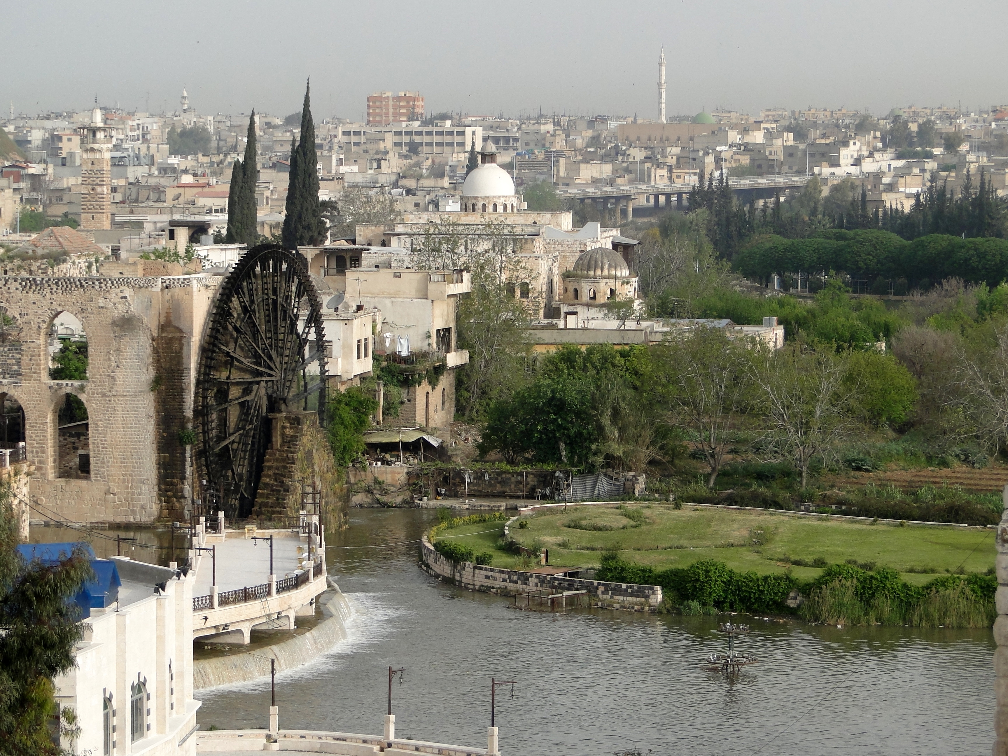
English: View of the city of Hama in Syria
Français : Vue de la ville de Hama en Syrie |
| ܣܝܩܘܡܐ | |
| ܡܒܘܥܐ | Own work |
| ܣܝܘܡܐ | Bernard Gagnon |
| Camera location | | View this and other nearby images on: OpenStreetMap |
|---|
ܦܣܣܐ
I, the copyright holder of this work, hereby publish it under the following licenses:

|
Permission is granted to copy, distribute and/or modify this document under the terms of the GNU Free Documentation License, Version 1.2 or any later version published by the Free Software Foundation; with no Invariant Sections, no Front-Cover Texts, and no Back-Cover Texts. A copy of the license is included in the section entitled GNU Free Documentation License. |
This file is licensed under the Creative Commons Attribution-Share Alike 3.0 Unported, 2.5 Generic, 2.0 Generic and 1.0 Generic license.
- You are free:
- to share – to copy, distribute and transmit the work
- to remix – to adapt the work
- Under the following conditions:
- attribution – You must give appropriate credit, provide a link to the license, and indicate if changes were made. You may do so in any reasonable manner, but not in any way that suggests the licensor endorses you or your use.
- share alike – If you remix, transform, or build upon the material, you must distribute your contributions under the same or compatible license as the original.
You may select the license of your choice.
This image has been assessed using the Quality image guidelines and is considered a Quality image.
|
ܬܫܥܝܬܐ ܕܠܦܦܐ
Click on a date/time to view the file as it appeared at that time.
| ܣܝܩܘܡܐ/ܙܒܢܐ | ܨܘܪܬܐ ܙܥܘܪܬܐ | ܩܝܡ̈ܐ | ܡܦܠܚܢܐ | ܥܘܩܒܐ | |
|---|---|---|---|---|---|
| ܗܫܝܐ | 22:19, 6 ܒܐܒ 2010 | | 3,456 × 2,592 (2.84 MB) | Bgag | {{Information |Description={{en|1=View of the city of en:Hama in Syria}} {{fr|1=Vue de la ville de fr:Hama en Syrie}} |Source={{own}} |Author=Bernard Gagnon |Date=2010-04-03 |Permission= |other_versions= }} •{{location|35|7|52. |
ܡܦܠܚܬܐ ܕܠܦܦܐ
ܦܐܬܐ ܗܕܐ ܐܣܪ ܥܡ ܗܢܐ ܠܦܦܐ:
ܡܦܠܚܢܘܬܐ ܓܘܢܝܬܐ ܕܠܦܦܐ
The following other wikis use this file:
- Usage on ar.wikipedia.org
- الوطن العربي
- بلاد الشام
- حماة
- سوريا
- التقسيم الإداري في سوريا
- قالب:المدن الكبرى في سوريا
- قالب:أكبر المناطق الحضرية في الشام
- مستخدم:عبد المؤمن/مصور/بلاد
- بوابة:العالم الإسلامي/صورة مختارة/أرشيف
- بوابة:العالم الإسلامي/صورة مختارة/22
- بوابة:العالم الإسلامي
- قائمة المواقع التراثية المتضررة في الحرب الأهلية السورية
- Usage on az.wikipedia.org
- Usage on be.wikipedia.org
- Usage on bn.wikipedia.org
- Usage on ckb.wikipedia.org
- Usage on diq.wikipedia.org
- Usage on el.wikipedia.org
- Usage on en.wikipedia.org
- Usage on en.wikinews.org
- Usage on es.wikipedia.org
- Usage on es.wikivoyage.org
- Usage on eu.wikipedia.org
- Usage on fa.wikipedia.org
- Usage on fr.wikipedia.org
- Usage on he.wikipedia.org
- Usage on hr.wikipedia.org
- Usage on id.wikipedia.org
- Usage on incubator.wikimedia.org
- Usage on nn.wikipedia.org
- Usage on no.wikipedia.org
- Usage on pl.wiktionary.org
- Usage on pt.wikipedia.org
- Usage on ro.wikipedia.org
- Usage on sco.wikipedia.org
- Usage on sk.wikipedia.org
View more global usage of this file.