ܠܦܦܐ:Iraq Al Anbar Governorate.svg

Size of this PNG preview of this SVG file: 589 × 600 ܦܩܣܠ. Other resolutions: 236 × 240 ܦܩܣܠ | 471 × 480 ܦܩܣܠ | 754 × 768 ܦܩܣܠ | 1,005 × 1,024 ܦܩܣܠ | 2,011 × 2,048 ܦܩܣܠ | 1,241 × 1,264 ܦܩܣܠ.
ܠܦܦܐ ܫܪܫܝܐ (SVG file, nominally 1,241 × 1,264 pixels, file size: 324 KB)
| Description |
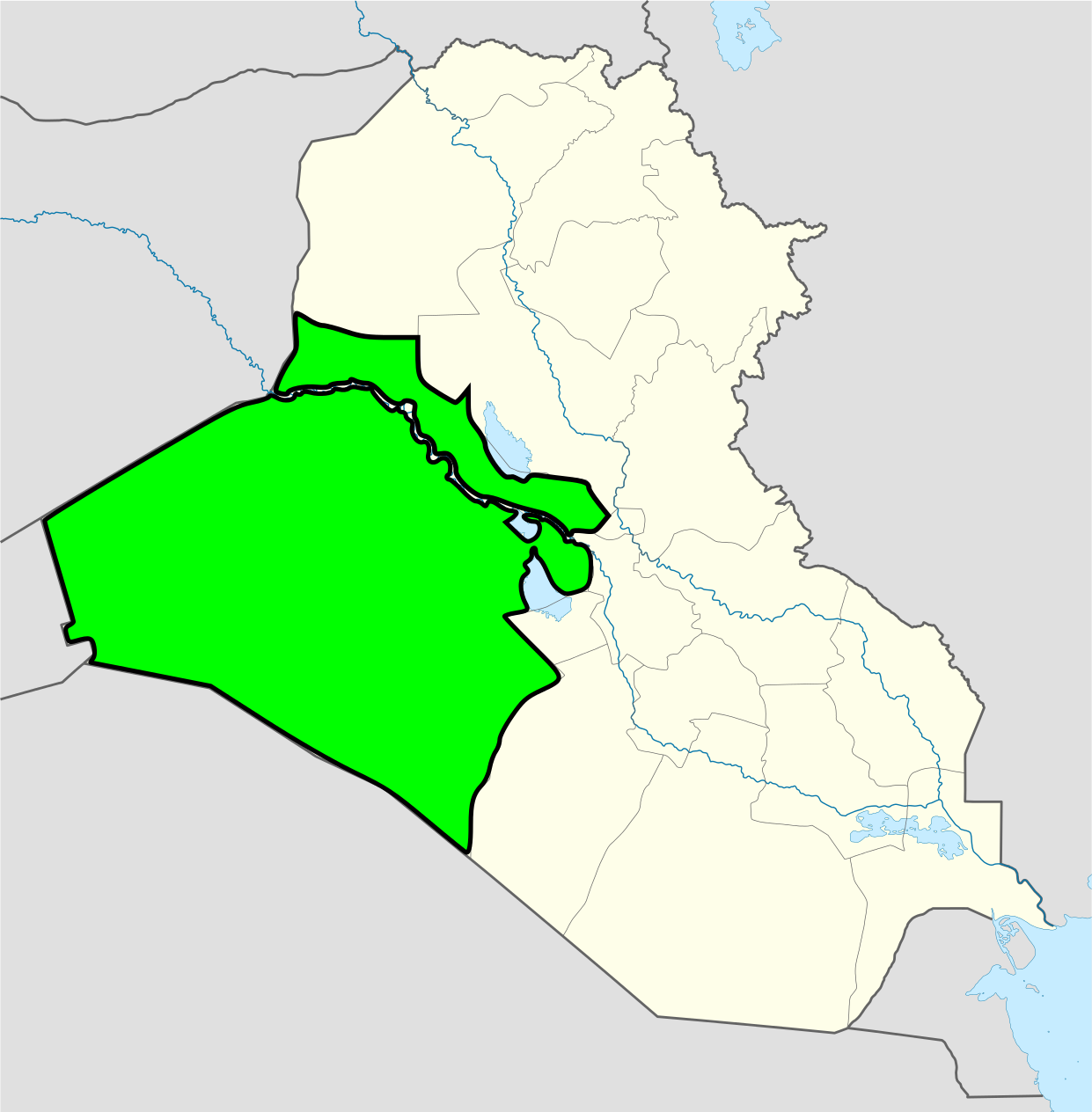
Deutsch: Positionskarte von Irak Quadratische Plattkarte, N-S-Streckung 115 %. Geographische Begrenzung der Karte: * N: 37.7° N * S: 28.4° N * W: 38.4° O * O: 48.9° O English: Location map of Iraq Equirectangular projection, N/S stretching 115 %. Geographic limits of the map: * N: 37.7° N * S: 28.4° N * W: 38.4° E * E: 48.9° E |
| ܣܝܩܘܡܐ | (UTC) |
| ܡܒܘܥܐ | |
| ܣܝܘܡܐ |
|
| This is a retouched picture, which means that it has been digitally altered from its original version. Modifications: Colered the Al Anbar Governorate. The original can be viewed here: Iraq location map.svg:
|
I, the copyright holder of this work, hereby publish it under the following licenses:
This file is licensed under the Creative Commons Attribution-Share Alike 3.0 Unported license.
- You are free:
- to share – to copy, distribute and transmit the work
- to remix – to adapt the work
- Under the following conditions:
- attribution – You must give appropriate credit, provide a link to the license, and indicate if changes were made. You may do so in any reasonable manner, but not in any way that suggests the licensor endorses you or your use.
- share alike – If you remix, transform, or build upon the material, you must distribute your contributions under the same or compatible license as the original.

|
Permission is granted to copy, distribute and/or modify this document under the terms of the GNU Free Documentation License, Version 1.2 or any later version published by the Free Software Foundation; with no Invariant Sections, no Front-Cover Texts, and no Back-Cover Texts. A copy of the license is included in the section entitled GNU Free Documentation License. |
You may select the license of your choice.
Original upload log
This image is a derivative work of the following images:
- File:Iraq_location_map.svg licensed with Cc-by-sa-3.0, Cc-by-sa-3.0, GFDL, GFDL/en
- 2008-08-21T20:36:28Z NordNordWest 1241x1264 (323475 Bytes) {{Information |Description= {{de|Positionskarte von [[:de:Irak|Irak]]}} Quadratische Plattkarte, N-S-Streckung 115 %. Geographische Begrenzung der Karte: * N: 37.7° N * S: 28.4° N * W: 38.4° O * O: 48.9° O {{en|Location m
Uploaded with derivativeFX
ܬܫܥܝܬܐ ܕܠܦܦܐ
Click on a date/time to view the file as it appeared at that time.
| ܣܝܩܘܡܐ/ܙܒܢܐ | ܨܘܪܬܐ ܙܥܘܪܬܐ | ܩܝܡ̈ܐ | ܡܦܠܚܢܐ | ܥܘܩܒܐ | |
|---|---|---|---|---|---|
| ܗܫܝܐ | 00:16, 30 ܒܟܢܘܢ ܐܚܪܝ 2009 | | 1,241 × 1,264 (324 KB) | Zirguezi | {{Information |Description={{de|Positionskarte von Irak}} Quadratische Plattkarte, N-S-Streckung 115 %. Geographische Begrenzung der Karte: * N: 37.7° N * S: 28.4° N * W: 38.4° O * O: 48.9° O {{en|Location map of Iraq}} Equir |
ܡܦܠܚܬܐ ܕܠܦܦܐ
ܦܐܬܐ ܗܕܐ ܐܣܪ ܥܡ ܗܢܐ ܠܦܦܐ:
ܡܦܠܚܢܘܬܐ ܓܘܢܝܬܐ ܕܠܦܦܐ
The following other wikis use this file:
- Usage on en.wikipedia.org
- Usage on tr.wikipedia.org