ܠܦܦܐ:Localización de la Comunidad de Madrid.svg

Size of this PNG preview of this SVG file: 686 × 518 ܦܩܣܠ. Other resolutions: 318 × 240 ܦܩܣܠ | 636 × 480 ܦܩܣܠ | 1,017 × 768 ܦܩܣܠ | 1,280 × 967 ܦܩܣܠ | 2,560 × 1,933 ܦܩܣܠ.
ܠܦܦܐ ܫܪܫܝܐ (SVG file, nominally 686 × 518 pixels, file size: 502 KB)
ܦܣܝܩܬ̈ܐ
| Description |
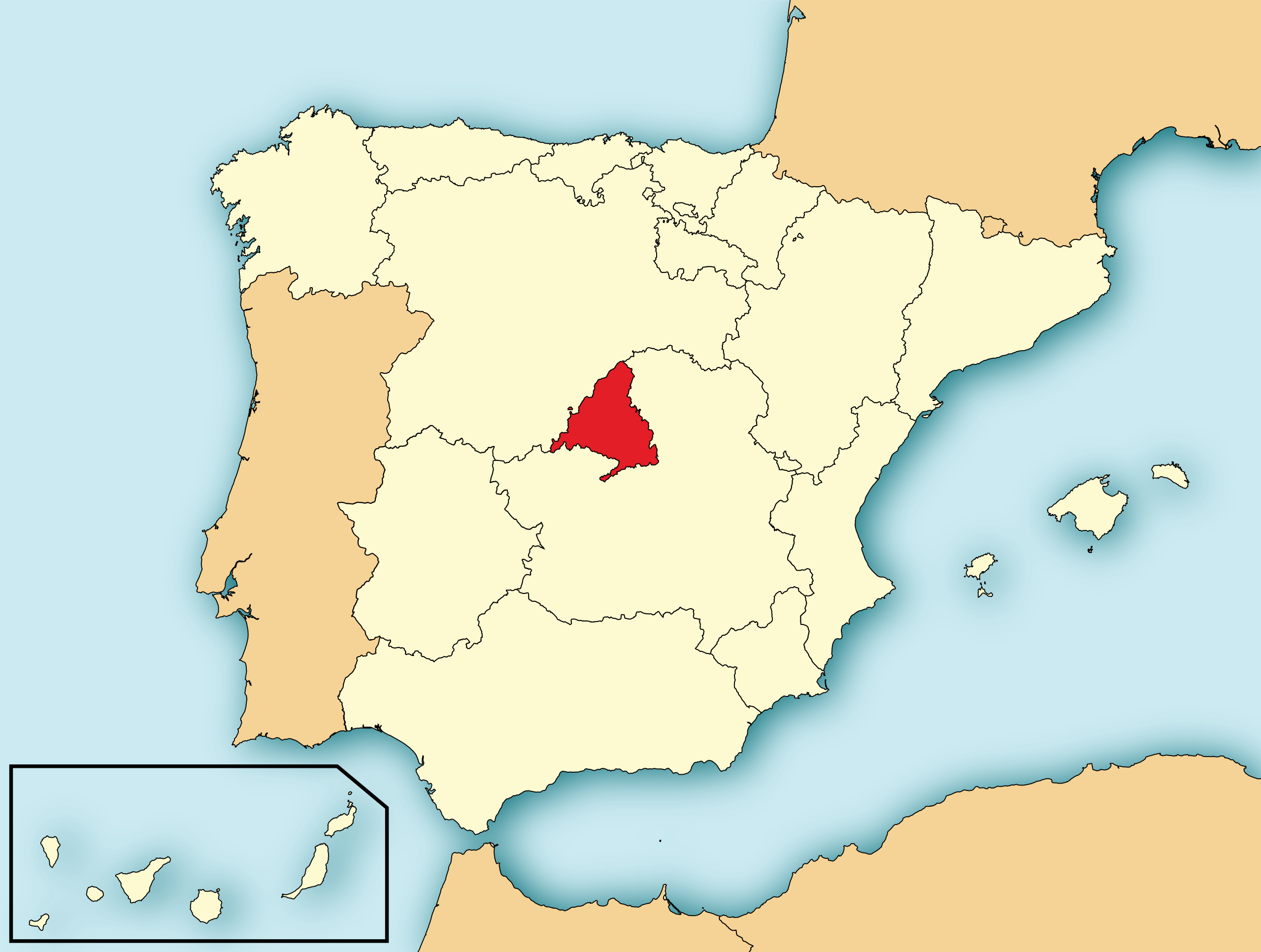
English: Map of Spain with the Community of Madrid highlighted. Español: Localización de la Comunidad de Madrid respecto a España. |
| ܣܝܩܘܡܐ | |
| ܡܒܘܥܐ | File:EspañaLoc.svg, de HansenBCN. Modificada por User:Mutxamel. |
| ܣܝܘܡܐ | Mutxamel, subido por Rastrojo (D•ES) |
| SVG genesis | This locator map was created with Adobe Illustrator. |

ܦܣܣܐ
I, the copyright holder of this work, hereby publish it under the following licenses:

|
Permission is granted to copy, distribute and/or modify this document under the terms of the GNU Free Documentation License, Version 1.2 or any later version published by the Free Software Foundation; with no Invariant Sections, no Front-Cover Texts, and no Back-Cover Texts. A copy of the license is included in the section entitled GNU Free Documentation License. |
This file is licensed under the Creative Commons Attribution-Share Alike 4.0 International, 3.0 Unported, 2.5 Generic, 2.0 Generic and 1.0 Generic license.
- You are free:
- to share – to copy, distribute and transmit the work
- to remix – to adapt the work
- Under the following conditions:
- attribution – You must give appropriate credit, provide a link to the license, and indicate if changes were made. You may do so in any reasonable manner, but not in any way that suggests the licensor endorses you or your use.
- share alike – If you remix, transform, or build upon the material, you must distribute your contributions under the same or compatible license as the original.
You may select the license of your choice.
ܬܫܥܝܬܐ ܕܠܦܦܐ
Click on a date/time to view the file as it appeared at that time.
| ܣܝܩܘܡܐ/ܙܒܢܐ | ܨܘܪܬܐ ܙܥܘܪܬܐ | ܩܝܡ̈ܐ | ܡܦܠܚܢܐ | ܥܘܩܒܐ | |
|---|---|---|---|---|---|
| ܗܫܝܐ | 19:43, 4 ܒܐܒ 2010 | | 686 × 518 (502 KB) | Orionist | removed border and artifacts, various other fixes |
| 10:19, 6 ܒܬܡܘܙ 2009 |  | 690 × 522 (561 KB) | Rastrojo | nueva versión | |
| 18:45, 2 ܒܢܝܣܢ 2008 |  | 578 × 374 (407 KB) | Paintman | Color verde y por comunidades autónomas. | |
| 19:26, 7 ܒܟܢܘܢ ܐܚܪܝ 2008 |  | 578 × 374 (608 KB) | Rastrojo | {{Information |Description= Localización de la Comunidad de Madrid respecto a España |Source= Image:Provincias de España centrado.svg |Date= |Author= Rastrojo |Permission= |other_versions= }} [[ |
ܡܦܠܚܬܐ ܕܠܦܦܐ
ܦܐܬܐ ܗܕܐ ܐܣܪ ܥܡ ܗܢܐ ܠܦܦܐ:
ܡܦܠܚܢܘܬܐ ܓܘܢܝܬܐ ܕܠܦܦܐ
The following other wikis use this file:
- Usage on als.wikipedia.org
- Usage on an.wikipedia.org
- Usage on ar.wikipedia.org
- Usage on arz.wikipedia.org
- Usage on ast.wikipedia.org
- Usage on ay.wikipedia.org
- Usage on be.wikipedia.org
- Usage on bg.wikipedia.org
- Usage on br.wikipedia.org
- Usage on ca.wikipedia.org
- Usage on cs.wikipedia.org
- Usage on cy.wikipedia.org
- Usage on da.wikipedia.org
- Usage on de.wikipedia.org
- Usage on diq.wikipedia.org
- Usage on el.wikipedia.org
- Usage on en.wikipedia.org
- Usage on es.wikipedia.org
- Usage on es.wikinews.org
- Usage on eu.wikipedia.org
- Usage on ext.wikipedia.org
- Usage on fa.wikipedia.org
- Usage on fi.wiktionary.org
- Usage on fr.wikipedia.org
- Usage on fr.wikinews.org
- Usage on gl.wikipedia.org
- Usage on hi.wikipedia.org
- Usage on hu.wikipedia.org
- Usage on hy.wikipedia.org
View more global usage of this file.